HPLinks #91.
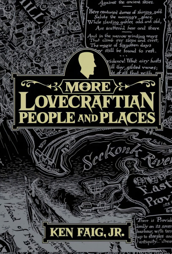
* The Pulp Super-Fan reviews Ken Faig Jr’s book More Lovecraftian People and Places (2025).
* From Brazil, a new item that translates as “The Rhetoric Of Doubt: Unreliability, Inner Focusing And The Construction Of The Weird In H.P. Lovecraft’s Cosmic Horror Literature” (2026). Appears to be a final dissertation. Freely available online. Focuses on “The Whisperer in Darkness” and the second part… “analyzes the persona of the narrator Wilmarth, his limitations as a man of science, and the use of the epistolary genre as a resource for double unreliability”.
* New in the paywall journal American Gothic Studies, “Cosmic Horror and Acidic Apocalypse from the American Counterculture: The Psychedelic Gothic in Cinema and Beyond” (2026). This appears, judging by the partial free abstract, to focus on the feature film Eggshells (1969). But the title suggests the article then goes on to range more widely? Sadly, the paywall extends even to the full abstract.
* From Eastern Europe, a research repository has a new record and abstract for the 2026 journal article “Bibliographic Menace in Lovecraft’s ‘The Festival’: Terror by Quotation and Refusal”. Academic DOI links are useless half the time, and thus predictably the DOI link here gives an error. However, a little hand-searching gets me to the Ostrava Journal of English Philology issues-page and thus the full text of the article…
H.P. Lovecraft’s tale ‘The Festival’ (1925) makes the ‘Necronomicon’ frightening by scarcity: a supervised consultation of the grimoire at Miskatonic University and the translation of a single paragraph relocate horror from ‘contents’ to citation and refusal. ‘Bibliographic menace’ names the dread produced when an archive proves real and institutionally guarded, yet remains larger than any extract the narrative permits. Close reading traces the tale’s archaic cadence and pseudo-scholarly framing; brief comparison with other ‘Necronomicon’ tales clarifies its distinctive economy and later adaptability across media.
See also the related conference paper “Scarcity, Pseudobiblia, and the Literary Work of Lovecraft’s ‘Necronomicon’ in “The Festival””, previously linked in my HPLinks #89.
* Talking of the Necronimicon, it seems remarkable that… “90% of surviving Renaissance Latin texts have never been translated”. So says Amsterdam’s new Source Library, which is doing something about it. With the aid of one of the world’s greatest collections, harnessed to the new capabilities of AI. The “first 6,000 translations” are now online, with facing originals so Latin-reading AI-sceptics can instantly glance across and check. The Source Library has an apparent initial focus on Renaissance philosophy, esoterica and occultism. All freely available and open. No fragments from the Necronimicon have surfaced, as yet.
* Taskerland reviews reviews The Occult Lovecraft…
The Occult Lovecraft is a beautifully-made [1975] zine by contemporary standards and the sheer quality and discernment on display only become more apparent when you realise that the entire thing pre-dates the existence of desktop publishing. […] A beautifully produced historical artefact from a strange and revealing moment in Lovecraft fandom, where rationalism, occult enthusiasm, and personal testimony collide.
* The latest edition of the German open-access journal Das Mittelalter: Perspektiven Mediavistischer Forschung (‘The Middle Ages: Perspectives In Mediaevalist Research’) is a special issue on ‘Medieval Patterns in Modern Fantasy’. Includes an article on examples of Merlin in analogue games, which may be of interest to some.
* Public-domain Spanish audio for “Presentacion del libro Siempre nos quedara Lovecraft. El horror cosmico en los comics, los videojuegos y el sexo. Volumen 2″ (‘Presentation on the book We Will Always Have Lovecraft: Cosmic horror in comics, video games and sex. Volume 2.’). June 2026, 40 minutes.
While the first volume analyzed the literary work of Lovecraft, this new book explores how the concept of cosmic horror and the adjective ‘Lovecraftian’ have been expanded and adapted to multiple media
The new book is available in Spanish via Diabolo Ediciones.
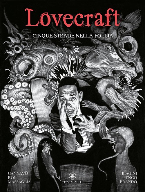
* New from Italy, a book of four comics adaptations of Lovecraft, plus an original Lovecraftian tale as a comic. Lovecraft: Cinque strade nella follia…
Under the expert guidance of screenwriter Marco Cannavo, The Dunwich Horror, The Shadow Over Innsmouth, The Temple, and The Rats In The Walls are transformed into comic stories by Francesco Biagini, Francesca Giulia Massaglia, Paolo Massagli and Corrado Roi. Michele Penco also transforms an original story by Cannavo.
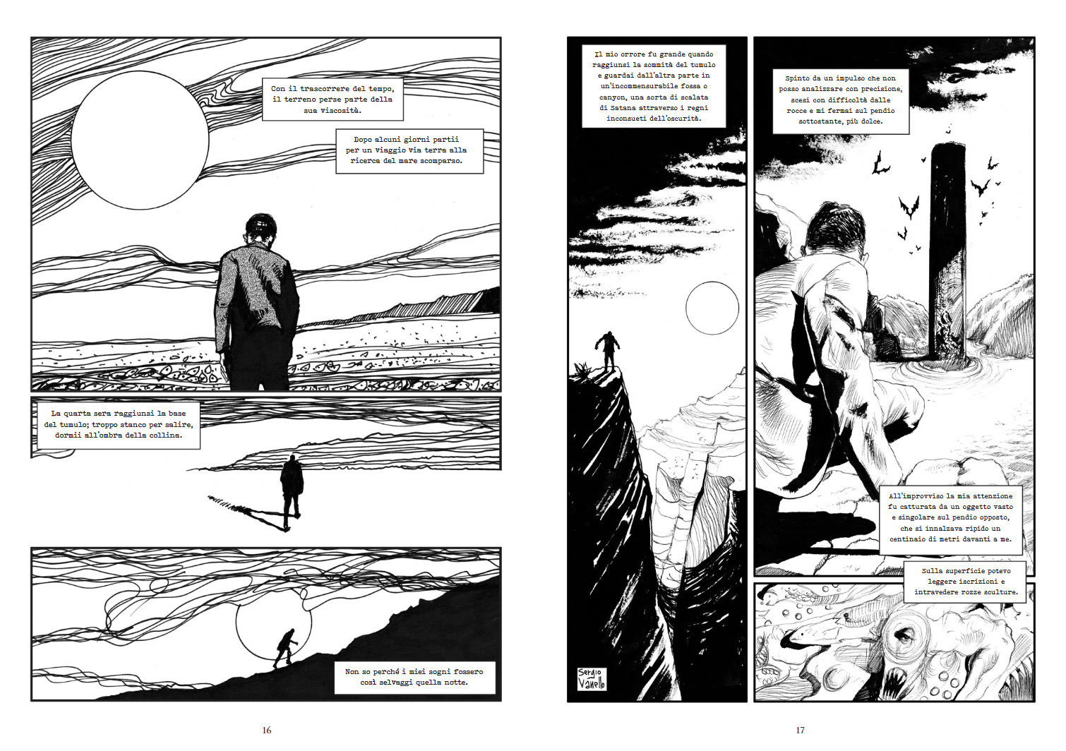
* Also new in Italian comics, Vanello Sergio’s H.P. Lovecraft: Dagon e altri racconti brevi (2025) (‘Dagon & Other Tales’). Eight Lovecraft tales as comic-book… “reinterpretations enriched by a new visual dimension”. A 96 page album, some b&w strips, some colour. Sergio produced a similar ‘Erich Zann and Other Tales’ book in 2019.
* Dream Apex Pictures have filmed Lovecraft’s “Celephais”…
H.P. Lovecraft film adaptations have largely ignored his Dream-cycle, and we are thrilled to bring the Dreamlands to life. Producer Joe Lemieux and director Michael Neel are passionate Lovecraft fans, and we have made the kind of film that we would like to see. […] special effects, by Jeff O’Brien and Nicholas Flanagan (Shuttle, Drive-In Horrorshow, God of Vampires) are all practical, including latex gore, puppetry, and camera tricks. With the exception of compositing our effects using a computer, there is nothing in this film that couldn’t have been done one hundred years ago. We filmed at fourteen locations in New England, Lovecraft’s home and ours.
Now available free on YouTube, or as a Blu-ray via IndieGoGo.
* It appears there’s to be no Colin Wilson conference in the UK this year, and instead there’s a new 2026 collection of essays to mark the 70th anniversary of Wilson’s famous book The Outsider (1956).
* New to me, Around the Outsider: Essays Presented to Colin Wilson on the Occasion of his 80th Birthday (2011), now available as an ebook on Amazon. Includes an essay on The Mind Parasites, which was Wilson’s tribute-novel to Lovecraft. Incidentally it’s interesting to learn that, apparently, Wilson once worked as a visiting lecturer at Brown University in Providence. One wonders if his archived papers have unexamined Lovecraft-related photographs and writings from his time on College Hill?
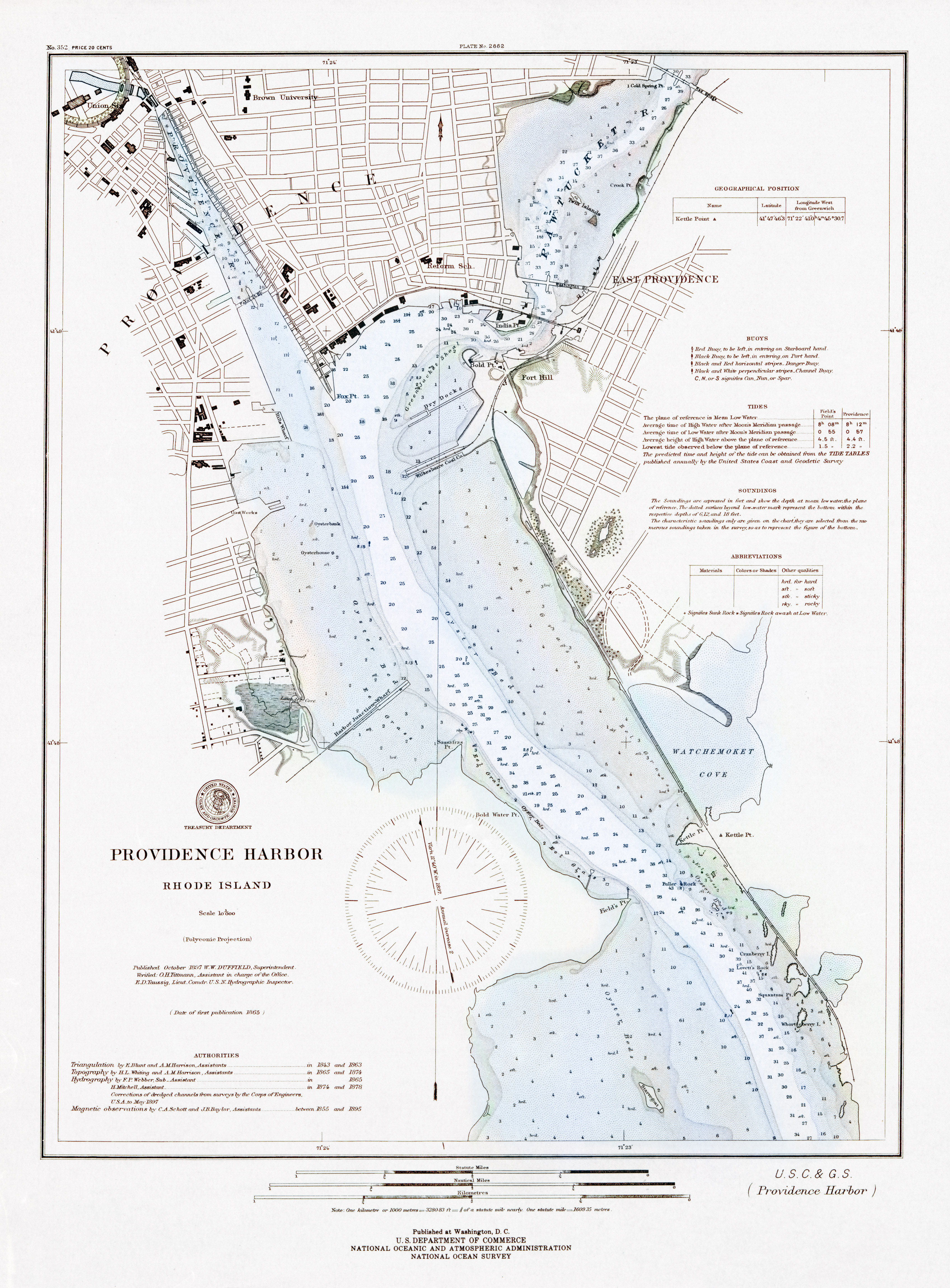
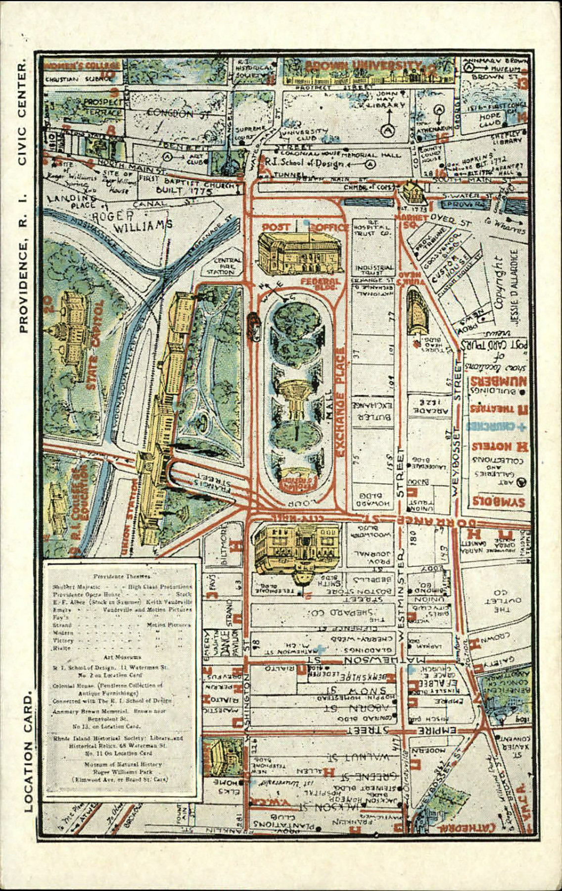
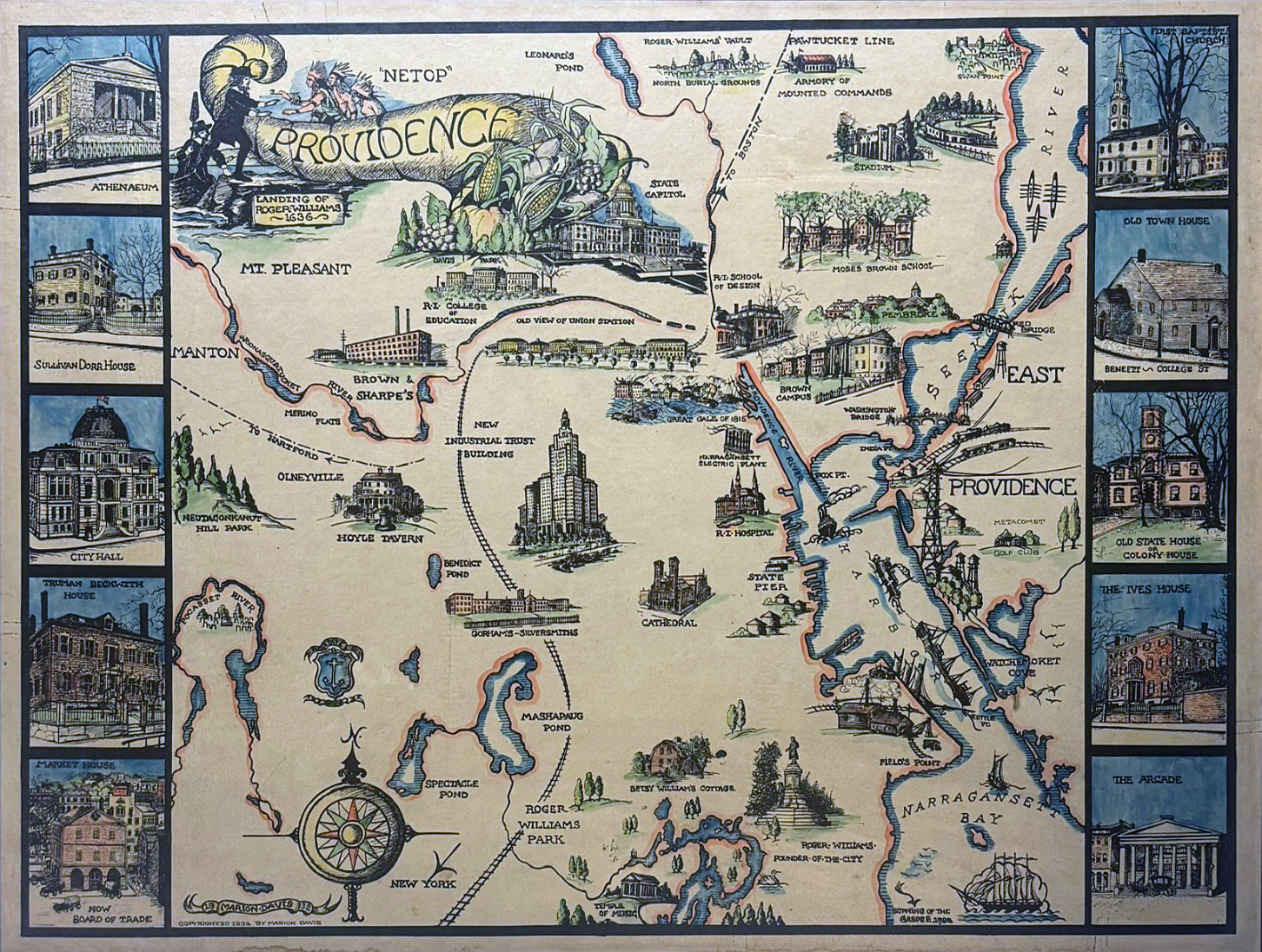
* Newly spotted on eBay, a framed 1932 hand-drawn map of Providence.
* Witch House: Amateur Magazine of Cosmic Horror. A new PDF ‘zine, now calling for contributions for issue 6. Fiction and poetry wanted, no non-fiction, reviews or interviews. Deadline: 2nd August 2026.
* New on Archive.org, a run of Different Worlds Magazine 1979-1987. A substantial general early RPG magazine, but with an obvious interest in Cthulhu mythos and R.E. Howard games/scenarios.
* More videos are surfacing from this year’s Howard Days event in Cross Plains, Texas. Specifically the recordings for the one-day conference ‘Afterlives of World Building: The Legacy of Robert E. Howard’: the Keynote by Sara Frazetta, the First Panel and Second Panel.
* New on Archive.org, Profiles In History: Comic & Illustration Art Auction 87 July 30, 2016. Being a sumptuous auction catalogue which offers a feast of Frazetta (Bran Mak Morn), Barry Windsor-Smith (Conan + the BWS 1970s wall-posters), Berni Wrightson, and some Moebius.
* Remember all those the old ‘magazines about comics and comics-artists’ that were recently uploaded to Archive.org? They now have Kwakk, a dedicated keyword search-engine. Said to search across more than a million pages, and counting.
* More details about the forthcoming Lovecraftian animated feature film from a studio of animation professionals, Ages of Madness: The Howling of the Jinn. Starting production in late 2026, and set to be an anthology movie consisting of “nine shorts” set across “four settings”, with each short connecting to the history of the Necronomicon. Aimed at adult audiences, not kids.
* And finally, talking of dazzling animation… see two literary immortals locked in mortal combat! Yes, it’s J.R.R. Tolkien vs H.P. Lovecraft.
— End-quotes —
“Raindrops [are felt]… but the sky shews a light rim near the horizon which impels me to take a chance and stay … for a moment. No — too much sprinkling. Have moved down into the piny valley toward the east. Am on a great rock beneath thick evergreen shade. Now let it rain (up to a certain limit) and be damn’d. This section of the wood is really primeval. Indians and 17th century colonists have seen these giant firs. There are houses as old as 1670 and 1687 within a mile of here. Rain increases — but what the hell? … Started pouring — with thunder and lightning — and my pine shelter proved inadequate. … I’m quite a bit irrigated …” — Lovecraft tries to write an outdoor letter to Barlow, as a heavy storm eases in, end of May 1935.
[A September visit to Providence by Donald Wandrei] “… was spoilt by a torrential rainstorm — which transformed most of the city to a lake & broke all weather-bureau records.” — Lovecraft to Derleth, September 1932.
[in Quebec] “I beheld several atmospherick spectacles of the highest interest […] a strangely burning flood of ruddy vespertine light upon roofs, spires, ramparts, & the trans-fluvial cliffs of Levis — coupled with a dense funnel of churning nimbus cloud extending from the zenith to the southeastern horizon. From this interloping mass jagged streaks of lightning darted frequently down to the distant country side beyond Levis, whilst low rumbles of thunder follow’d tardily after. Then, to crown all, a pallid arc of rainbow sprang into view above the verdant Isle d’Orleans, its upper end lost in the forbidding black cloud.” — Lovecraft to Galpin, October 1933.
“… the skies exert the utmost fascination upon me; nor is the weaving of wild dreams about their unplumbed deeps & suns & worlds in the least hampered by the precise astronomical data which my scientific side demands. Indeed, there is nothing in the baldest truth about the sky which does not enhance rather than enfeeble one’s awe at its fathomless & indescribable immensities.” — Lovecraft to Donald Wandrei, April 1927.