
Newly published, a “High-resolution habitat and bathymetry maps for 65,000 sq. km of Earth’s remotest coral reefs”. It’s a new world-map of such coral reefs, in an interactive map where the data appears to be Attribution open access…
the Khaled bin Sultan Living Oceans Foundation embarked on a 10-yr survey of a broad selection of Earth’s remotest reef sites — the Global Reef Expedition. [producing a] meter-resolution seafloor habitat and bathymetry maps developed from DigitalGlobe satellite imagery and calibrated by field observations.”
“We are particularly grateful to our long-standing partnership with Dr. Sam Purkis’ remote sensing lab at the NOVA Southeastern University Oceanographic Center. From the satellite acquisition process, to ground-truthing field work, to creating the habitat maps and bathymetry products, Dr. Purkis’ lab is world-class. Additionally, this magnificent web application was created by an outstanding project management team from Geographic Information Services, Inc (GISi). GIS, Inc. was an absolute pleasure to work with on this exciting project.
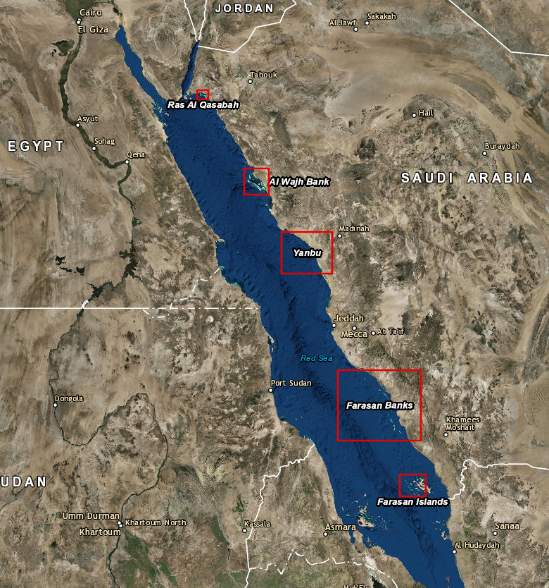
Here’s my example zoom of the interactive map, down into the Red Sea…
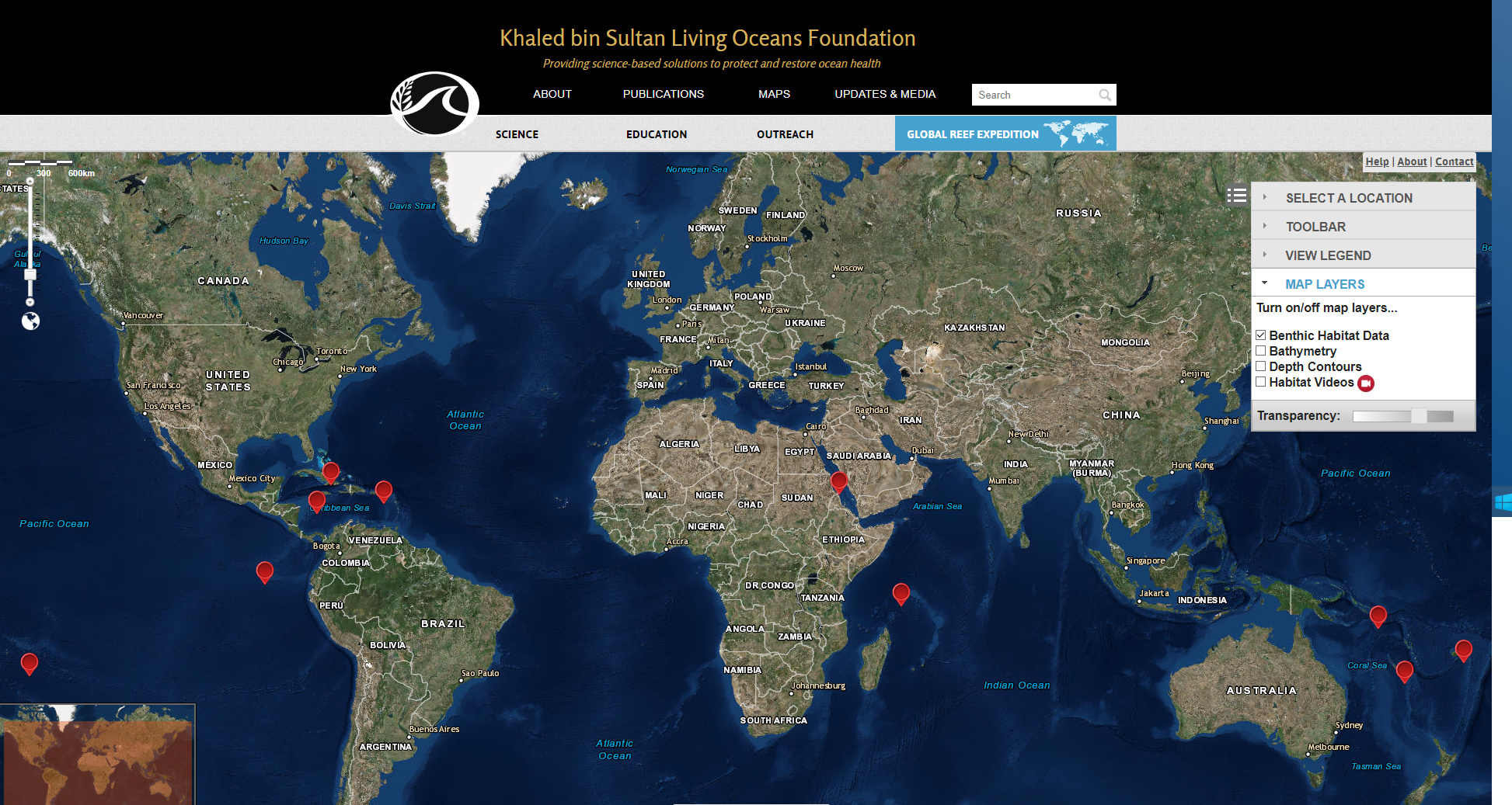
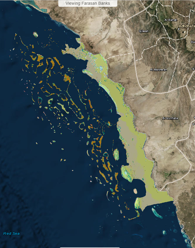

The red dots in the top screenshot are the reefs, and the red dots in the last screenshot indicates the project’s video locations.