
All the six-inch to the mile Ordnance Survey maps of Great Britain, 1842-1952. Now free, zoomable, and synced as geo-located historical series onto Google Maps.

It would be nice if they could get a system to extract all the keywords from the map lettering, rectify the (inevitably corrupted) keywords by fuzzy matching each of them against a standard historical gazetteer / place-name list for the area, then inject the hyper-linked names into each map’s page as keywords. That way the maps would be more easily searchable by keyword in Google Search. I’m not sure that’s even possible when old-style text is overlapping with graphical elements, as seen below, but it might be interesting to try…
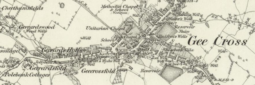
The modern names of places can, of course, already be looked up. But “Gerrardsfold” for instance, seen above in Cheshire, can only take one to a “Gerrards Fold Barn” in Lancashire when using the service’s modern lookup gazetteer.