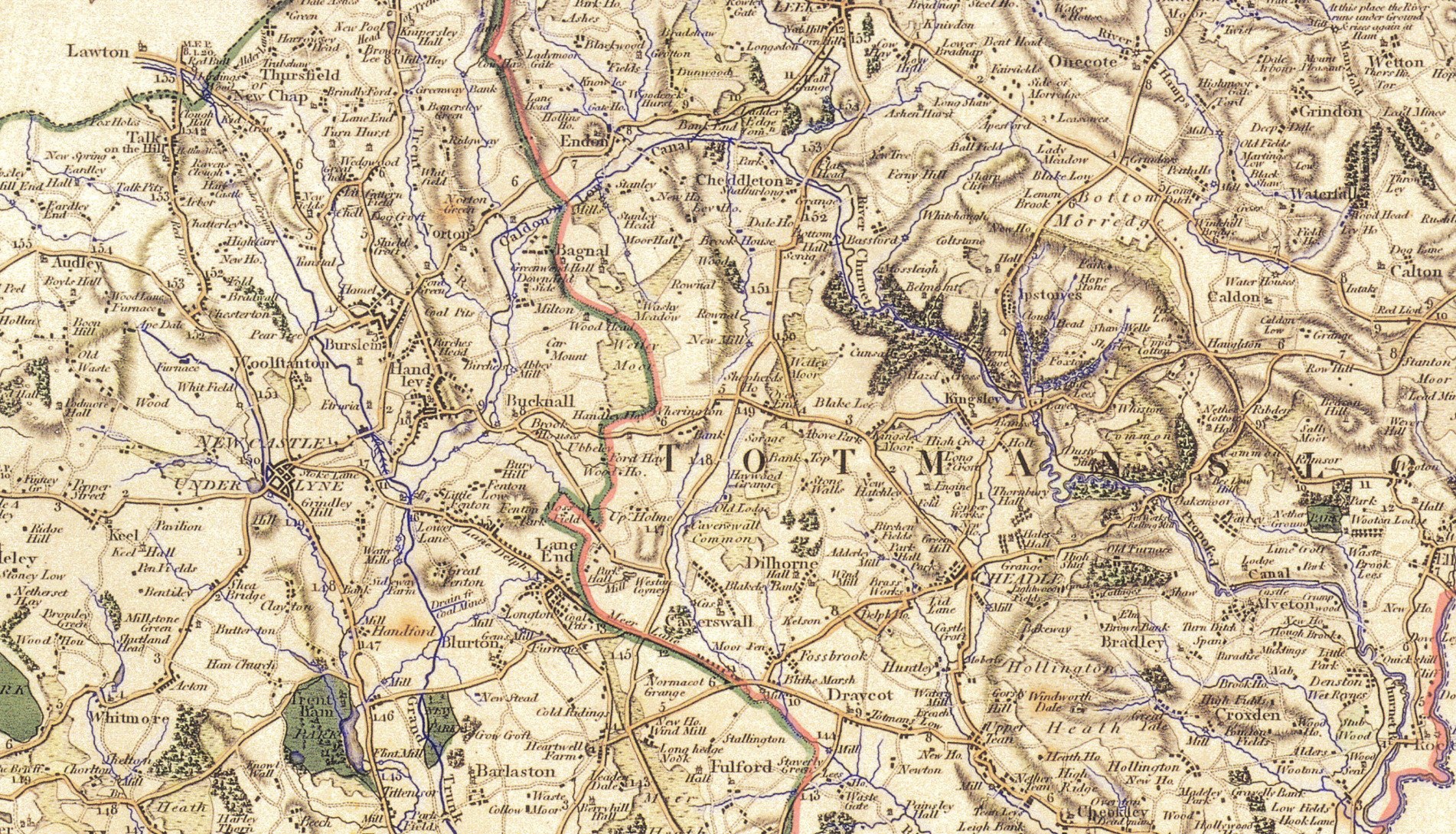
The Yates’ 1798 map of Staffordshire, here the section from Barlaston to Leek. And also the route from Red Street (the old Roman road rising up off the Cheshire Plain) across to the ridge-following ‘Earslway’ that once led to Alton Castle.
For those unfamiliar with the area, the towns “Burslem” and “Handley”, the various hamlets of “Fenton” and the outlying “Lane End” later become Stoke-on-Trent. “Totmanslow” is the Hundred. Alveton (bottom right) is now Alton.