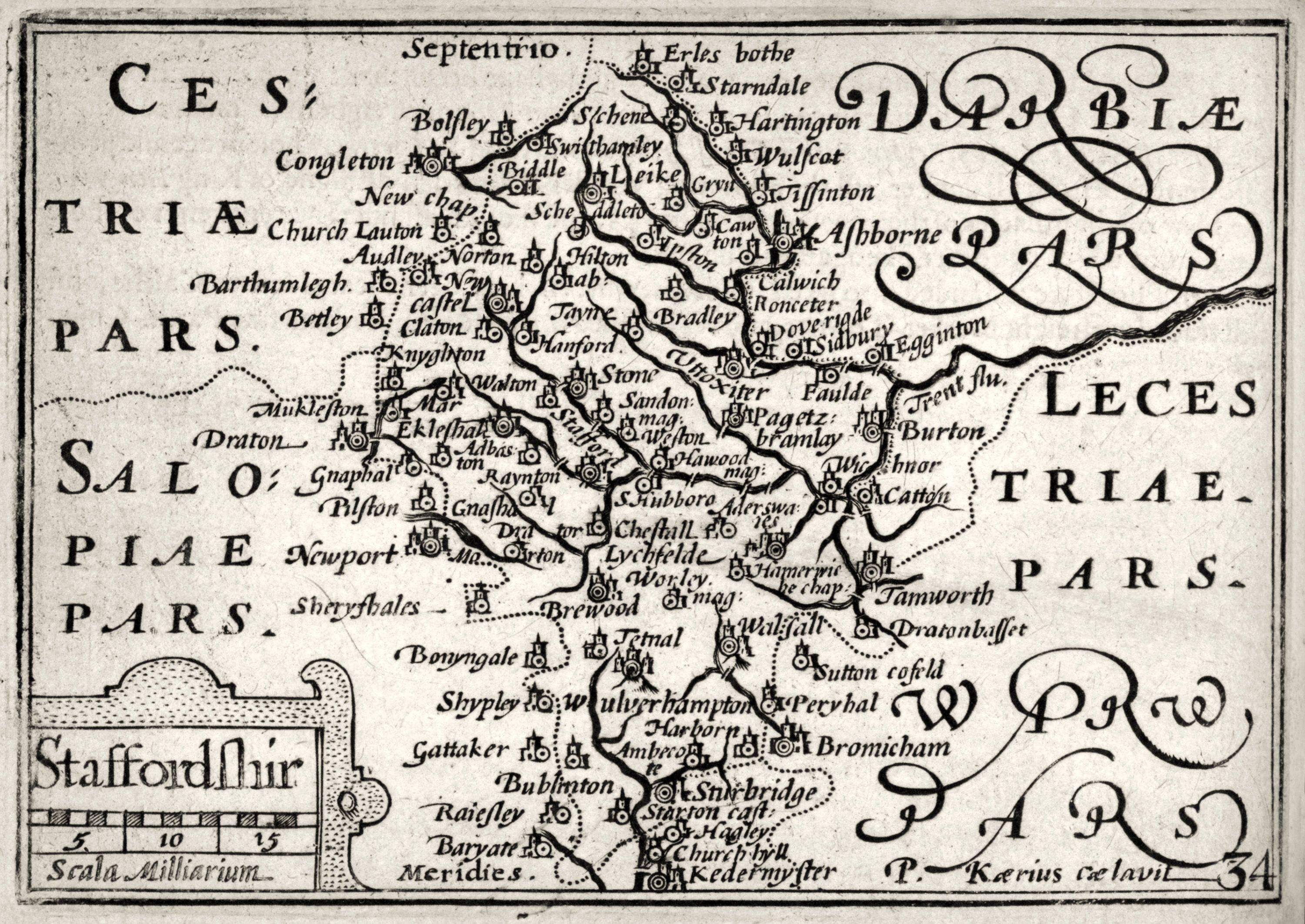
Staffordshire, as seen in the volume ‘England Wales Scotland and Ireland Described and Abridged with ye Historic Relation of things Worthy memory from a farr larger Voulume Done by John Speed. Anno Cum privilegio 1620’…

[ Thanks to: SeriyKotik1970, who has a larger version ]
Apparently they were engraved in the early years of the 1600s, and also appeared in Camden’s Britannia in 1617.
Update, April 2018: huge version, non tatty…
* Old road expert, Charles G. Harper, in his The Manchester and Glasgow road Vol. 1 (1907), on the oldest post-road from Manchester to London in the district…
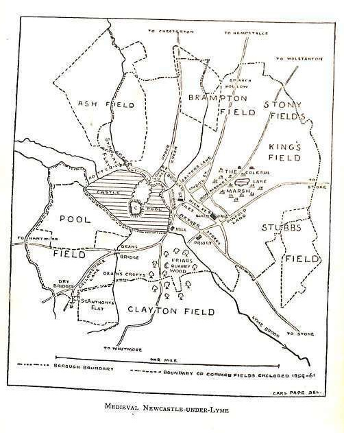
To go back to still earlier times [17th century, one saw only] horsemen, who were then your only travellers, jogging along from Manchester to London by way of the roundabout route of Warrington, Great Budworth, Cranage Heath, Holmes Chapel, Brereton, Church Lawton, [Red Street,] Newcastle-under-Lyme, whence they would generally proceed by Stone, Lichfield, and Coleshill. That was, with minor divagations suggested by taste and fancy, or by such circumstances as floods or highwaymen, the old original post-road.
Interestingly, Red Street to Holmes Chapel was later my suggestion for the likely route of Sir Gawain’s entry into North Staffordshire in Sir Gawain and the Green Knight.
[…] The “apple tree” of Staffordshire, as formed by the Trent and its tributaries. After John Speed’s 1620 map. […]